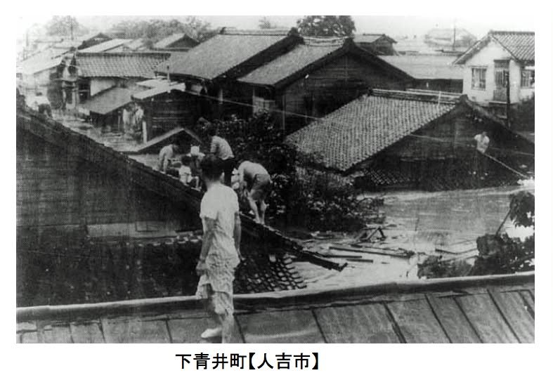
I just posted about the recommendation to evacuate the Hitoyoshi area. In my post, I wrote that the Hitoyoshi area has a history of flooding. This picture is a screenshot from a pdf document put out by the prefecture:
http://www.pref.kumamoto.jp/sec_img/0141/200815172946025.pdf
Even though the pdf is in Japanese, it's mostly pictures and relatively easy to make sense of, particularly if you know how to turn Showa (昭和) dates into Western dates by adding 1925 and to turn Heisei (平成; the current period in Japan) dates into Western dates by adding 1998.
At any rate, if you look at the pictures, you'll see that the area has a history of flooding that continues into recent times and that warnings probably should be heeded.