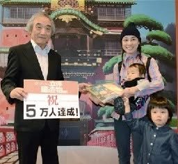
I wrote about this earlier but now I can introduce this English article.
-- Kirk
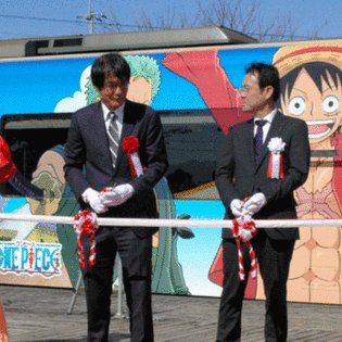
http://www.animenewsnetwork.com/interest/2016-10-31/one-piece-campaign-raises-money-to-revitalize-kumamoto-prefecture/
One Piece Campaign Raises Money to Revitalize Kumamoto Prefecture
Trains and One Piece-related rewards for philanthropy