William's recent post about the Tatsudayama (also read Tatsutayama) fault
https://www.facebook.com/Kumamotoi/posts/1040992629307502
prompted me to do a little search on the web. I happened upon this page
http://www.city.kumamoto.jp/hpkiji/pub/detail.aspx?c_id=5&id=2121
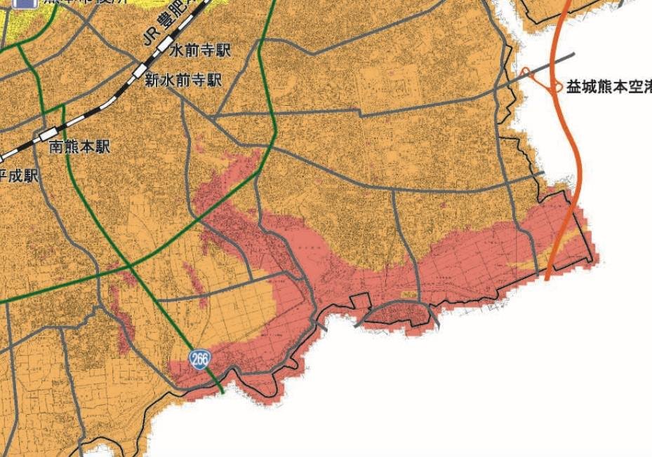
which was published in 2012 and has a link to a hazard map (pdf) that correctly shows that an earthquake along the Futagawa-Hinagu fault would cause the greatest shaking in the Mashiki area. I thought this was interesting because I had not been aware that the Mashiki was known to be a risk since before the quakes hit. The Mashiki area had quite a few older homes that were not quake resistant. Of course, hindsight is 20/20, but I still wonder if more could not have been done since experts knew beforehand that the Mashiki areas was vulnerable.
By the way, I'd also like to recommend
http://sakura1.higo.ed.jp/ws/kchigaku/hp/kumamoto_c/tatudayama_f/tatudayama_f.htm
because it shows the location of the Tatsutayama fault very clearly.
-- Kirk