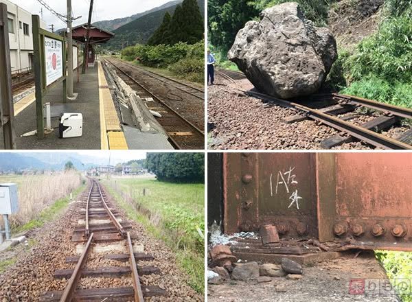
Approaching the third anniversary of the quakes, physical changes to Kumamoto become increasingly apparent. My neighborhood in the center of town, Oe, has simply seen old houses razed and replaced by condominiums, but other areas - particularly Aso - have seen large-scale geomorphic alteration.
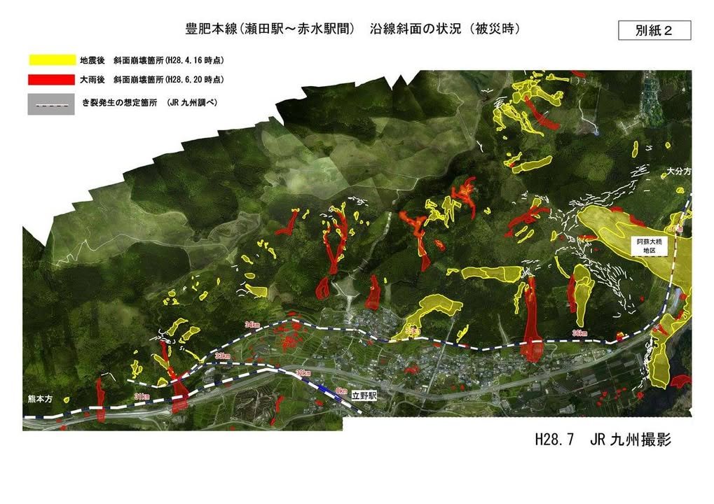
The Tateno Gap had been the main entryway to Aso, with both Route 57 and the railway running through it. In the below map, yellow indicates "Run away!", while red indicates "Too late." Route 57 has been rerouted through a tunnel down to Akamizu, but the railroad issue remained. Click on the Kumanichi link (their photos are un-copy-paste-able) for a startling image of how much the geomorphics have changed to allow the reopening of the rail line, slated for mid-2020. - William