As those of you in Kumamoto know, it has begun to rain rather heavily. This significantly increases the risk of additional landslides. The added weight of the water increases the likelihood of building collapses as well. Accordingly, many evacuation notices have been issued. Unfortunately, I cannot direct you to a color-coded map showing the areas for which directives have been issued; only text information is available. The best text source in Japanese is Yahoo:
http://crisis.yahoo.co.jp/evacuation/
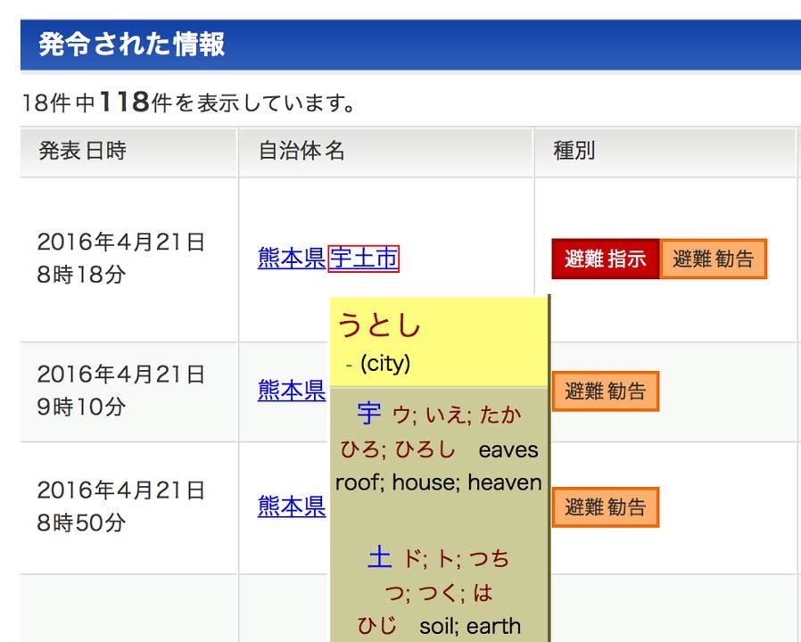
To help non-Japanese who do not read kanji make sense of this information I have made the following link:
It uses a service called Rikai that shows the readings of the place names in hiragana and provides some basic translations, although the translations do not always fit the context. If kanji cause problems for you but you are able to read hiragana, the additional information provided by Rikai should be enough to help you make sense of the evacuation notices.
The color coding is also helpful: red, most dangerous (definitely take refuge), orange, evacuation recommended, yellow, prepare to evacuate.
Regardless of whether or not your can make sense of the information provided by Yahoo, do what you can to get away from steep slopes and vulnerable buildings.
Finally, my thoughts of the failure of government to provide information in visual form:
In the past, I have tried to suggest to the prefecture and others in positions of power that they should develop a system to display such information on maps in real time. Such a system would be helpful to Japanese citizens but of particular value to foreigners. Even if all of the text information were Japanese, such a visual display would be enough to make the information accessible to those who do not read kanji. After this disaster, perhaps I can get someone to listen to me.
-- Kirk
Tag: Evacuation